Vancouver's Broadway Plan is reshaping the corridor from Vine to Clark. With the subway extension nearing completion, here's what the density changes mean for homeowners and investors.
What the Broadway Plan Actually Does
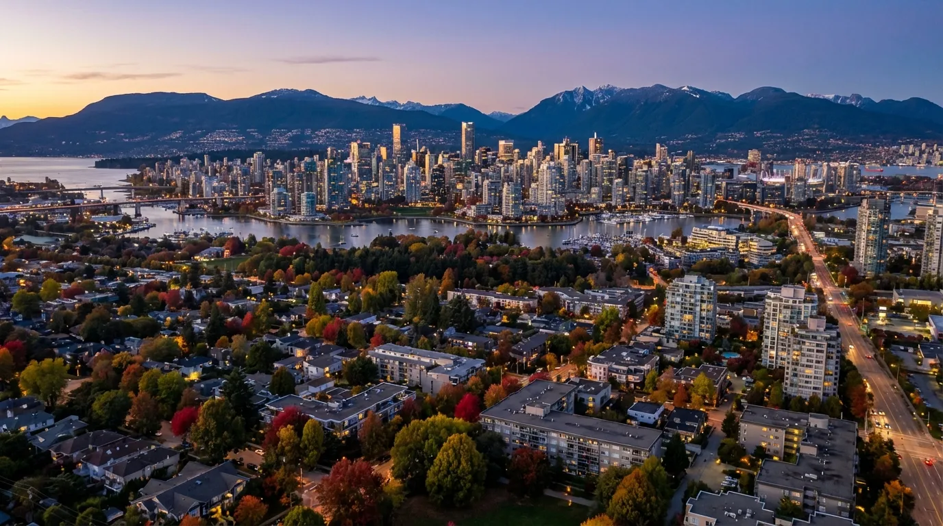
Vancouver City Council approved the Broadway Plan in June 2022, and it remains the single largest area rezoning in the city’s history. The plan covers roughly 500 blocks along the Broadway corridor, stretching from Vine Street in Kitsilano to Clark Drive at the edge of Mount Pleasant. That is about 16% of the city’s total land area under a unified development framework.
The stated goal is to accommodate approximately 50,000 new residents and 42,000 new jobs within the plan area by 2050. Those are not small numbers. For context, that is roughly the equivalent of adding the entire population of North Vancouver City into a corridor that runs about five kilometres east-west.
I have been working this corridor for two decades. What I can tell you is that the plan is not just a concept anymore. Permits are being pulled. Cranes are going up. And the property market is pricing in changes that many owners still do not fully understand.
The Broadway Subway: The Engine Behind Everything
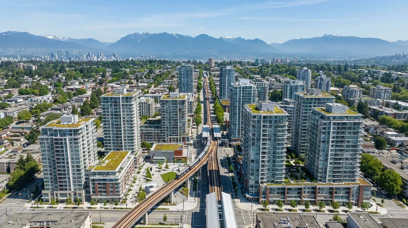
None of this works without the Millennium Line extension, commonly called the Broadway Subway. The 5.7-kilometre tunnel runs underground from VCC-Clark Station to a new terminus at Arbutus Street, adding six new stations along the route.
The current timeline puts substantial completion in late 2026, with passenger service expected to begin in 2027. Stations along the line include:
- Great Northern Way-Emily Carr (near the Emily Carr University campus)
- Mount Pleasant (at Main Street and Broadway)
- Broadway-City Hall (connecting to the existing Canada Line)
- Oak-VGH (serving Vancouver General Hospital)
- South Granville (at Granville Street and Broadway)
- Arbutus (the western terminus)
Each of these station areas has its own density profile under the Broadway Plan. And that is where things get interesting for property owners.
Density by the Numbers
The Broadway Plan does not apply a single density standard across the corridor. It uses a tiered approach based on proximity to rapid transit stations and the type of sub-area.
Station Areas (Highest Density)
Within roughly 150 metres of each new station, the plan allows towers up to 40 storeys. That is a massive jump from the previous zoning, which typically capped heights at 8 to 12 storeys in most of these locations. At Broadway-City Hall and Mount Pleasant stations, several projects are already in the pre-application phase targeting 35 to 40 storeys.
Shoulder Areas (Moderate Density)
Between 150 and 400 metres from stations, heights generally range from 12 to 20 storeys, depending on the specific sub-area. These shoulder zones will see the most transformation in terms of street character. Blocks that currently hold low-rise commercial or aging apartment buildings will be redeveloped into mid-rise residential with ground-floor retail.
Transition Areas
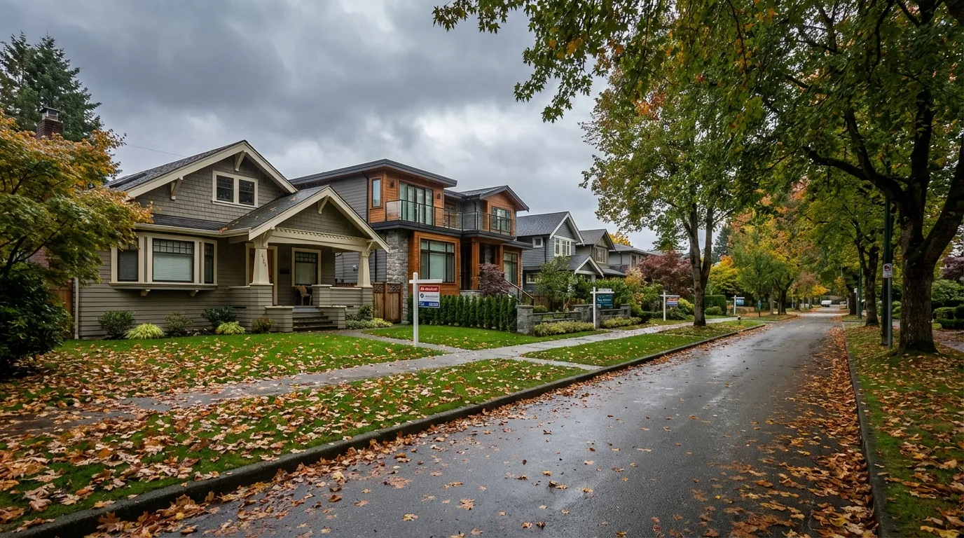
Further from stations and along the residential edges of the corridor, the plan allows 6 to 12 storeys. These are the blocks that border single-family neighbourhoods in Kitsilano and the east side of Mount Pleasant. Here, the plan calls for townhouse, low-rise apartment, and secured rental forms.
The Multiplier Effect on Land
A single-family lot previously zoned for one home that now sits in a 20-storey shoulder area has seen its land value change dramatically. I have personally seen assessment-to-sale ratios of 2:1 to 3:1 for well-positioned assembly sites near South Granville and Broadway-City Hall. That ratio will keep climbing as the subway reaches completion.
Station-by-Station Property Impact
South Granville Station
This area has the most active development pipeline right now. The intersection of Granville and Broadway was already one of the city’s strongest retail nodes. With 40-storey allowances and the subway station at grade, developers are scrambling for assemblies on both sides of Granville between roughly 8th and 12th Avenues.
Older three-storey walk-up apartments that traded at $250 to $300 per buildable square foot two years ago are now being quoted at $350 to $400. If you own a rental building in this zone, your land value has probably doubled since the plan was adopted.
Broadway-City Hall
This is the interchange station where the new Millennium Line meets the existing Canada Line. Double-station proximity makes this the highest-value node in the entire corridor. The City has designated this area as a future “complete neighbourhood” with a target of 8,000 to 10,000 new residents.
The challenge here is that much of the surrounding land is already built out with relatively new concrete towers. That limits redevelopment potential. The real opportunities sit on the remaining low-rise parcels south of Broadway between Cambie and Ash. Expect fierce competition for these sites.
Mount Pleasant Station
Main and Broadway has always been a commercial hub, but under the Broadway Plan, the blocks immediately surrounding the station can now support 30 to 40 storeys. What makes Mount Pleasant different is the mix of industrial-zoned land just to the south on Main and along 2nd Avenue. Some of these parcels are being considered for mixed employment-residential projects under the plan’s “industrial transition” framework.
For investors, the sweet spot here is older commercial properties on side streets within 200 metres of Broadway. Many current owners have not yet internalized what the zoning change means for their land. That gap between current use value and future development value is where the money is right now.
Great Northern Way-Emily Carr
This is the eastern anchor of the subway extension, and it is also the most speculative. The surrounding area is a mix of light industrial, institutional (Emily Carr University, Centre for Digital Media), and vacant or underused lots. The plan envisions a new high-density residential neighbourhood here, but buildout will take longer than at the western stations.
If you have a 10-year horizon, this area offers the best risk-adjusted entry point. Land is still priced at light-industrial rates in some cases, but the subway station will fundamentally change the character of this neighbourhood within a decade.
Which Sub-Areas Are Most Affected
Fairview
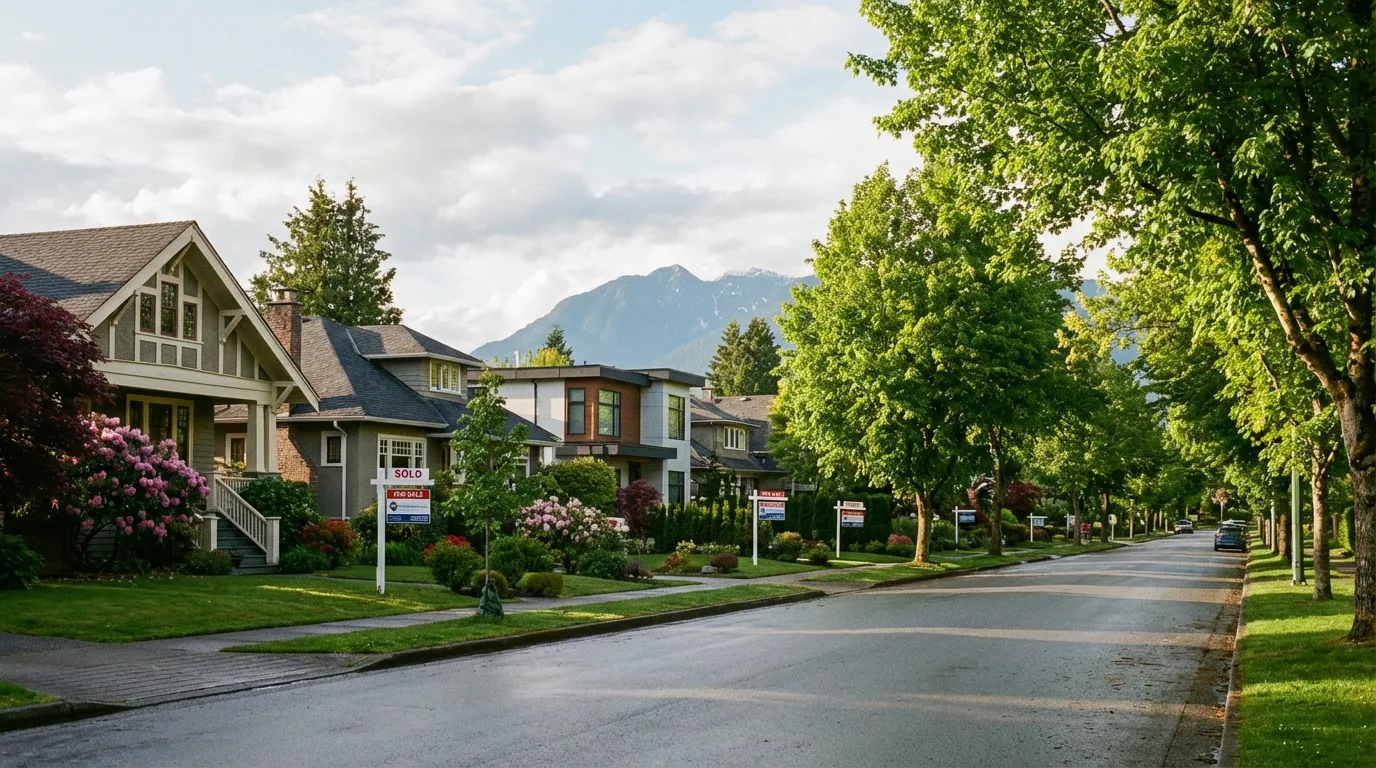
Fairview takes the biggest hit from the Broadway Plan, in the sense that more of its existing built form will be replaced than any other neighbourhood in the corridor. The area between Broadway and 12th Avenue, from Granville to Cambie, is almost entirely within station-area or shoulder-area designations. Older rental buildings, low-rise commercial, and some remaining single-family homes are all potential redevelopment targets.
For current homeowners in Fairview: your property is almost certainly worth more as a development site than as a residence. If you are sitting on a single-family lot south of Broadway between Oak and Cambie, get a development feasibility analysis done now, not later.
Mount Pleasant East
The blocks east of Main Street and south of Broadway fall under more moderate density provisions, but the proximity to the Mount Pleasant station still makes this area attractive for 12 to 20 storey projects. The existing SRO and older rental stock along Main creates complications around tenant relocation policies, which I will address below.
Kitsilano Edges
The Broadway Plan extends west to Vine Street, which puts the eastern edge of Kitsilano within the plan boundary. This area sees more modest density allowances, generally 6 to 12 storeys, but it is still a significant change from the existing RS-zoned lots. The Arbutus station terminus will anchor the western end, and the blocks immediately surrounding it are already seeing speculative purchases.
Investment Opportunities in 2026
Here is where I will be blunt. The best time to buy development-ready land on the Broadway corridor was 2022, immediately after the plan was approved and before the market priced it in. That window is closed.
But there are still opportunities if you know where to look.
Assemblies in Shoulder Areas
Most developer attention is focused on station-area sites with 30 to 40 storey potential. That means shoulder-area parcels zoned for 12 to 20 storeys are relatively underpriced. Two or three adjacent lots in these zones can support a mid-rise project at lower land cost per buildable foot than the station-area premiums.
Older Rental Buildings with Redevelopment Potential
The Broadway Plan includes a rental-replacement requirement. If you demolish rental units to build a new project, you must replace them one-for-one at similar rents. This scares some developers off. But for those willing to navigate the policy, it actually creates a protected niche: you are buying at a discount because of the perceived complexity, while the replacement requirement limits competing supply.
Strata Wind-Ups in the Corridor
Several older strata buildings along the corridor are reaching the end of their useful life. Under the Strata Property Act, an 80% vote can now authorize dissolution for redevelopment. Developers are actively courting strata councils in aging buildings near stations. If you own a unit in one of these buildings, you may receive a buyout offer that significantly exceeds market value for the unit alone.
Multiplex Plays at the Edges
At the periphery of the Broadway Plan area, where it transitions to lower density, multiplex zoning under Bill 44 still applies. A lot at the edge of the plan boundary might support a fourplex or sixplex that benefits from both the multiplex framework and the growing desirability of the corridor. This is a lower-capital entry point compared to tower-site acquisitions.
Displacement and Rental Protection Policies
I would be irresponsible not to address the other side of this story. The Broadway corridor is home to some of the most affordable remaining rental stock in Vancouver. Mount Pleasant alone has thousands of tenants in older buildings that pay rents far below current market rates. The Broadway Plan puts enormous redevelopment pressure on exactly these buildings.
The City has built several protections into the plan:
- One-for-one rental replacement: Any demolished rental unit must be replaced at a below-market rate pegged to the tenant’s previous rent.
- Tenant relocation plans: Developers must provide tenants with relocation assistance, moving expenses, and the right to return to a unit in the new building at a comparable rent.
- Interim rezoning policy: The City can slow or deny rezonings in areas where displacement pressure is concentrated.
- Below-market rental requirements: New developments above a certain size must include a percentage of units at below-market rents.
These policies add cost and complexity for developers. They also slow the pace of redevelopment, which means the corridor will not transform overnight. That is probably a good thing. But the pressure on existing tenants is real, and buyers should factor community impact into their investment decisions.
In my experience, projects that genuinely work with existing tenants through the relocation process face fewer delays and less community opposition at the public hearing stage. Cutting corners on tenant protection is both morally wrong and financially stupid.
What This Means for Current Homeowners
If you own property within the Broadway Plan boundary, here is the decision framework I walk clients through:
If your property is in a station area (150m from a station): Your lot is a development site whether you want it to be or not. The land value exceeds the home value. You should get a formal feasibility analysis to understand your options, from selling to a developer to partnering in a joint venture.
If you are in a shoulder area (150-400m from a station): You have more flexibility. Your land has significant upzoning value, but it may take longer for redevelopment demand to reach you. Consider holding for 3 to 5 years while the station areas develop, then reassess.
If you are in a transition area (400m+ from a station): The density increase is more modest, but still meaningful. A lot that previously supported one home might now support a small apartment building or townhouse project. This is where the multiplex strategy overlaps with the Broadway Plan.
Frequently Asked Questions
How will the Broadway Subway affect property values in the station areas?
Based on comparable transit-oriented developments in Metro Vancouver, notably the Evergreen Extension and the Canada Line, property values within 400 metres of new rapid transit stations typically increase 15 to 25% above the broader market within the first three years of service. For the Broadway corridor, the increase may be higher because of the concurrent rezoning. Developable land near stations has already appreciated 30 to 50% since the plan was adopted in 2022, and we expect another 10 to 15% once the subway is operational.
Can the City change or roll back the Broadway Plan?
Technically, Council could amend the plan, but it would be extraordinarily unusual to do so this soon after adoption. The Broadway Plan went through five years of public consultation and thousands of submissions. Rolling it back would expose the City to legal challenges from developers who have already invested based on the approved density. In practice, the plan framework is locked in for at least a decade, though specific implementation details like design guidelines and community amenity contribution rates may be adjusted.
I own a rental building in the corridor. Should I sell now or wait?
It depends on your timeline and financial situation. Rental building values in the corridor are climbing because developers see them as future tower sites. However, the rental replacement policy means a buyer cannot simply demolish and build market condos. That limits the buyer pool to developers who are willing to include below-market rental in their proformas. If you can hold for another two to three years until the subway is operational, your land value will likely be higher. If you need liquidity now, the current market is already pricing in significant development premium.
What areas outside the Broadway Plan benefit from the subway extension?
The subway does not exist in a vacuum. Areas immediately south of the plan boundary in Fairview Slopes, south Mount Pleasant along Fraser Street, and the blocks between King Edward and Broadway on the west side will all see spillover demand. Buyers who are priced out of the corridor will look to adjacent streets. I am particularly watching the side streets off Kingsway between Broadway and 12th Avenue, where prices have not yet caught up to the new reality.
The Bottom Line
The Broadway Plan is not a planning document anymore. It is a construction program. The subway is nearly finished. The development applications are stacking up. And the corridor between Vine and Clark is going to look fundamentally different in five years than it does today.
For property owners in the corridor, the time to get informed was yesterday. For investors, the opportunities are still there, but they require more precision than they did two years ago. You need to understand which sub-area your target property sits in, what the actual buildable density is, and how the rental replacement policies affect your proforma.
I have been working Vancouver real estate for 20 years, and this is the most significant land-use change I have seen in the city. It is bigger than the Canada Line rezoning. It is bigger than the Cambie Corridor Plan. And it will create more wealth, and more displacement, than either of those.
If you own property in the Broadway corridor or are considering an investment along the route, I would be happy to walk you through the specifics. Every block in the plan has a different story, and generic advice is not worth much when there is this much money on the table.
Talk to Greyden Douglas directly. Whether you are a homeowner trying to understand what the Broadway Plan means for your property, or an investor looking for development-ready sites, I can give you the block-by-block analysis you need.
Call (604) 218-2289 or send a message to start the conversation.
Related Vancouver real estate pages
Continue with local service pages, neighbourhood guides, and actionable resources related to this topic.